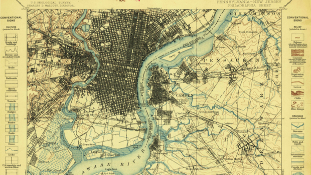
Every once in a while we run across a MEGA resource for you to use in your classroom. The link to the article below by Cheryl O’Brien will unlock an entire archive of historical maps to integrate into your lessons.
“Historical maps can be the last piece of the puzzle in genealogy research. What did the landscape look like decades ago when your ancestors settled in your town? How have place names, roads, and streams changed over time?
Although technically out of date, these historical maps are often helpful to those researching a specific geographic location, such as genealogists, scientists, and environmentalists….Beginning three years ago, this all changed. Anyone can now sit at home and view and download USGS historical maps.”
The Historical Topographic Map Collection
“The goal of the Historical Topographic Map Collection was to create an electronic collection of all printed quadrangles – all maps, all scales – beginning with the earliest editions prior to US Topo, a new generation of topographic maps. Other important objectives included:
- Consistent, high quality specifications to produce high resolution copies
- Each map scanned, as is, to capture the current content and condition of each edition – age induced yellowing, coffee stains and all
- Georeferencing the digital maps to allow for basic map analysis and to enable the maps to be imported into Geographic Information Systems so that they could be overlain with other geospatial map data from other sources
- Archiving the files with the National Archives and Records Administration and the Library of Congress”
“Historical topographic maps, as well as current editions may be viewed and downloaded for general reference on the USGS Store in the GeoPDF® electronic format accessible using all browsers. Starting later this year, the historical maps can be combined with current mapping data from The National Map as a GeoTIFF image product. Complete metadata is available for all maps.”
At GISetc.com we curate and bring you the best geography and science resources from the web. We hope our sharing will keep you up to date on the latest science and geospatial news. Click here to view the full article in its original format from USGS.

