 Maps aren’t just for the geography classroom anymore! More and more, maps are being used to round out other subject matters by communicating data and stimulating critical thinking. Never more so than in the English Language Arts classroom.
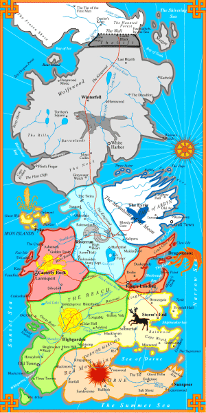
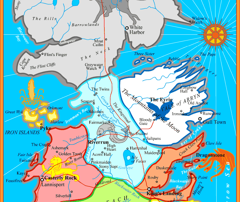
Some of us are currently reading the Game of Thrones series, and it got us wondering what maps had been created based on the series…and WOW, the internet did not disappoint! Use these links to show your students a geographic (albeit fictional) side to the books they are probably reading too.
- The Interactive Game of Thrones Map
- 50 Maps of Westeros
- The whimsical map of Westeros and Essos by Kitkat Pecson
- Game of Thrones Maps, Charts and Infographics
- The Complete Google Image Gallery of Game of Thrones Maps – dozens of links to explore!
There is so much available on using maps in conjunction with literature! Not just fictional maps, you can tie any piece you’re reading to a map. Not only will it help explain the character’s surroundings and circumstance, it can tie the writing to reality to your students. Follow Barbaree Duke’s blog, she’s the authority on incorporating geography into English curriculum.
At GISetc.com we curate and bring you the best geography and science resources from the web. We hope our sharing will keep you up to date on the latest science and geospatial news.


If you want GIS data of GoT review this post:
https://blog.gvsig.org/2017/01/26/learning-gis-with-game-of-thrones-i-adding-data-to-a-project/
And the post serie to learn GIS with Game of Thrones and the open source gvSIG:
https://blog.gvsig.org/?s=Learning+GIS+with+Game+of+Thrones