by Barbaree | Feb 5, 2017 | Conferences
Learn about online mapping for your classroom! Catch a POSTER or PRESENTATION Tuesday, Feb. 7th, 9:00am, Poster Pavilion, “Where, Why, Who, What, How: Data and Online Mapping” Wednesday, Feb. 8th at 3:30pm, Room 8AB, “We All Have a Story to Share: Engage and Inspire...

by Barbaree | Nov 14, 2016 | Featured Content, Free Resources, GIS Day
We believe that Earth is a beautiful planet. As we celebrate GIS Day around the world, many students and professionals alike will be sharing amazing data visualizations, helpful solutions to important issues, and telling stories with geography. Many of you are...

by Barbaree | Nov 20, 2015 | Conferences, Current Training, Presentation & Conference Archives
If you’re looking for cool things related to geospatial technology, digital maps and interactive online mapping….but need it to be free for your school. (Yes, FREE! No catch…really!) Join the TCEA GEOSIG and friends at one of these presentations...

by Emily Adams | Jun 30, 2014 | Free Resources, Our Blog
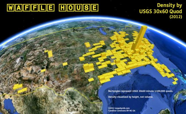
We started brainstorming fun summer maps to post on our blog – and we started thinking about road trips…and then we got hungry…and then we came up with the idea of pulling together a collection of some of the coolest road trip fast food maps....

by Emily Adams | Jun 26, 2014 | Free Resources, Our Blog
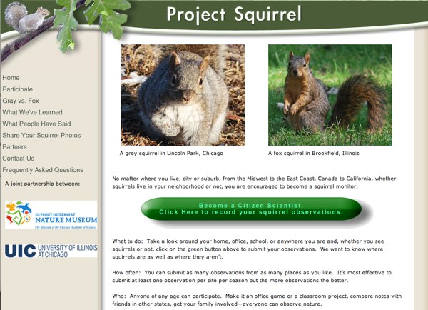
Fill your summer with citizen science adventures. Go outside and enhance your nature experience by engaging with online science sites and apps to transform every outing this summer into a learning experience. Here are our top ten favorite citizen science projects:...


