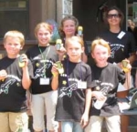
 Throughout the United States, 4-H youth, scouts, and K-12 classrooms have taken the lead – using GIS and GPS to study their localities and visually depict what they find. This page gives a capsule summary of exciting youth projects. Could youth near you create a similar project?
