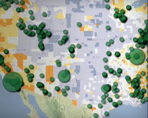
 Much of the information in the world has a geographic component, and spatial factors affect every aspect of our lives. In a world where rich visualizations and geospatial tools are the norm, spatial literacy is a significant asset for our faculty, our students, and our institution.
LEarNing Spatially (LENS) is a campus-wide initiative from the University of Redlands promoting spatial literacy as a foundational component within a liberal arts university. This is the outcome of 10+ years of Redlands’ dedication to spatial thinking in curriculum, programs and research. Spatial thinking – the ability to visualize and interpret location, distance, direction, relationships, movement and change through space – is at the core of their work. Their initiative represents a lead effort in understanding how geospatial technologies can be linked to the greater pedagogic objectives of critical thinking and problem-based learning. They are not just teaching a tool, but a way of thinking. Their approach develops student and faculty capacity to explore the spatial nature of multiple disciplines in order to generate insights that drive active learning. LENS harnesses the integrative power of geography with technologies to help faculty and students visualize knowledge, solve problems, and understand relationships through a spatial lens.
This site is RICH with resources! Take some time to explore all the links. Our favorite section? The wonderful tools and sites on MAKING MAPS AND FINDING DATA.
