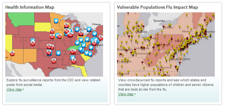
Here at GISetc we are fighting off the remnants of a cough, and it feels like flu has hit hard this year, affecting several of our friends and family. We turned to these maps from Esri to study this season’s epidemic.
The 2013 winter season has seen widespread flu activity in many major urban centers. Esri’s mapping technology and demographic data provides updated information about flu reports and the virus’ impact to vulnerable populations.
For more on this year’s flu, read our previous post about Flu Awareness and play Flu-ville (an awareness game from the CDC that incorporates real-time maps and stats into the game!)
At GISetc.com we curate and bring you the best geography and science resources from the web. We hope our sharing will keep you up to date on the latest science and geospatial news.

