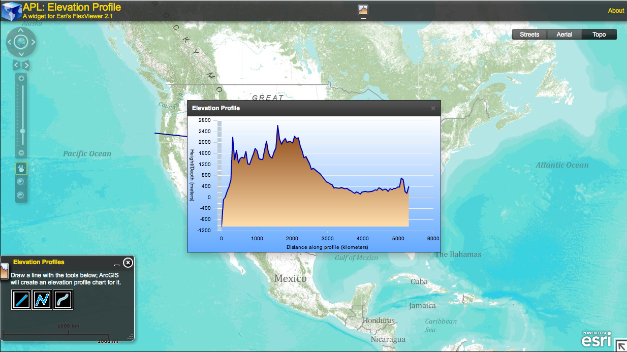
This free Elevation Profile hosted on the Esri site interface allows you to choose a tool from the tool box and draw a line anywhere on the surface of the globe, including the oceans! You will then be able to see an elevation profile of the area where you drew your line over. What an amazing way for students to really visualize and understand elevation and altitude more clearly.
On the blog
- Apps We Love
- ArcGIS Online
- Articles
- Conferences
- Cougar's Corner
- crafts
- Current Training
- Diana Sinton
- DirectionsMag
- Featured Content
- Free Resources
- GeoInspirations
- GEOplaylist
- Geoporter Report
- GIS Day
- GIS Happenings
- GISetc Video Lessons
- Joseph Kerski
- Newsletter Archives
- Our Blog
- Past Training
- Podcasts
- Presentation & Conference Archives
- Press & Testimonials
- SEVEN
- Super Tuesdays 2012
- Uncategorized

