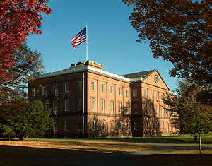
 Great Plains GIS & Geospatial Workshop Bismarck State College, Bismarck, North Dakota August 2007
Instructors: Mr. Roger Palmer, Mrs. Anita Palmer
Location: Bismarck State College, Technical Arts Computer Lab, Bismarck ND.
Target Audience: Middle, Secondary and College pre-service and in-service teachers from science, technology, environmental/social studies and vocational education.
Class Meeting Times: 8:00 a.m. – 4:00 p.m.
Registration: $450
Materials Provided
* Mapping Our World—GIS lessons for Educators
Includes curriculum ready to go when you return to your classroom.
* ArcGIS Tutorial
* Over 40 hours of hands on exercises and exploration to ensure your success at bringing this technology back into your classroom!
* 2 Graduate College Credits from UND or NDSU available
Geospatial technologies have been identified by the Bush administration as one of the three highest growth industries in the US today. Learn how to incorporate the tools of this trade to support science, mathematics and geography! We’ll provide dozens of easy activities using GPS, digital cameras, and electronic probeware mapped out in a geographic information system.
GIS is the common tool to analyze all these data in a single interface. GPS and remote sensed imagery provide context for concepts from geometry to algebra, chemistry to physics or agriculture. These technologies open worlds of investigations for your classroom, after school clubs or science fair projects. Whether you want to add technology into your current classes, work with a 4-H club or monitor local water quality, this workshop will enhance your confidence in using technology to teach. What better way to learn these technologies than a project based institute using these tools. Teachers taking the course will be certified to offer student credit when teaching these technologies back at their own schools.
2 Grad Credits available from the State University system.
$450 Includes site license of ArcGIS, ArcGIS Tutorial, Mapping Our World , and remote sensing tutorials.
