
Conference for the Advancement of Science Teaching, 2011
It is the mission of the Science Teachers Association of Texas (STAT) to build a communitydedicated to advancing science teaching and learning. In a way that: Builds and strengthens networks for Texas educators Disseminates current scientific research Provides quality...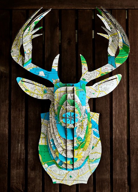
Made From a Map: It’s a Bust!
We found this incredible example of map art through Pinterest. I wish it was credited, kuddos to the anonymous creator who shared their project online! A company called Cardboard Safari makes these unique cardboard cut outs. Cardboard Safari draws inspiration from...Interactive Map: A History of Wildfires in California
Fire crews battle thousands of wildfires in California every year. This map shows areas burned in over 7,000 of the largest wildfires between 1950 and 2010. It includes data from the California Department of Forestry and Fire Protection and federal agencies including...Submarine Cable Map
The Submarine Cable Map is a free resource from TeleGeography. Data contained in this map is drawn from Global Bandwidth Research Service and is updated on a regular basis. To learn more about TeleGeography or this map please click here.