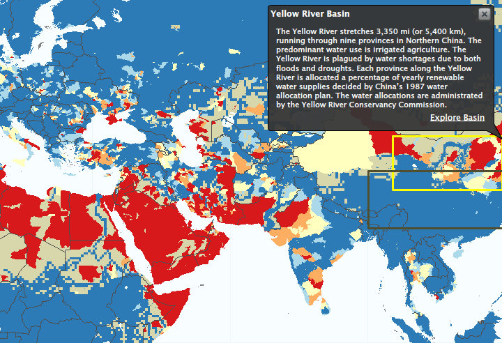
 Stress on water resources poses a threat to sustained business growth. It also creates an opportunity for competitive advantage through effective water risk management. In the past, no tools existed for companies, investors, and others to track water risks at a scale appropriate for developing sound business and investment strategies.
WRI designed Aqueduct to meet this need. Aqueduct provides a comprehensive and credible metric for measuring geographic water risks. It consists of a global database and interactive mapping tool that enable companies to quantify and map water risks at a local scale, worldwide.
The Aqueduct Atlas can create comprehensive, high resolution maps of water risks tailored to your unique risk exposure profile.
