

Global Selfie Day
GISetc is wishing all a Happy Earth Day! Today we will post several pics on this blog and our social network channels to NASA to “create an image of Earth from the ground up.” Get outside today and take your#GlobalSelfie, help NASA and put yourself on...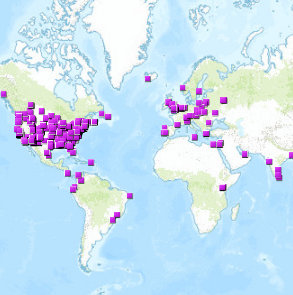
Add Yourself to the Map
Interactive maps are wonderful tools to explore data. Ever use them to find others like you in your field? Today we’re sharing a list of links to interactive maps, full of people like YOU. Whether you’re a geospatial professional, teacher or student...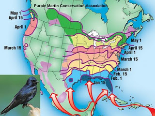
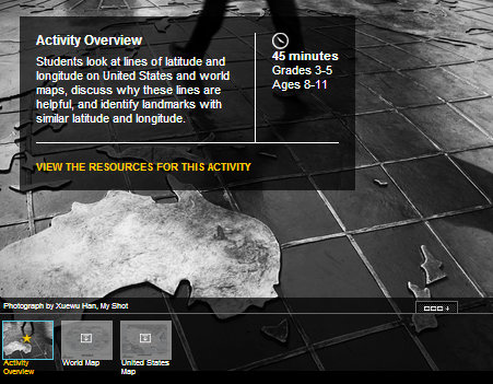
Springtime: It’s for the Birds
It’s officially springtime, and after thinking of plants and blooms, our thoughts turn to our feathered friends returning from warmer climes. Ask your students if they’ve noticed more birds lately. Research bird migration patterns in your area and take...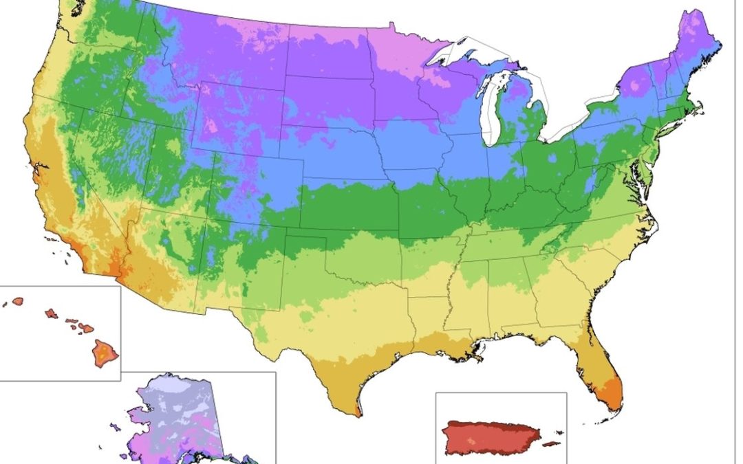
Spring Has Sprung
Today, on the first day of Spring, we want to share maps of springtime. What better way to map the spring than to follow the planting maps? Here in Texas, we’ve had some lovely spring interludes already. What’s it like today where you are? If you...